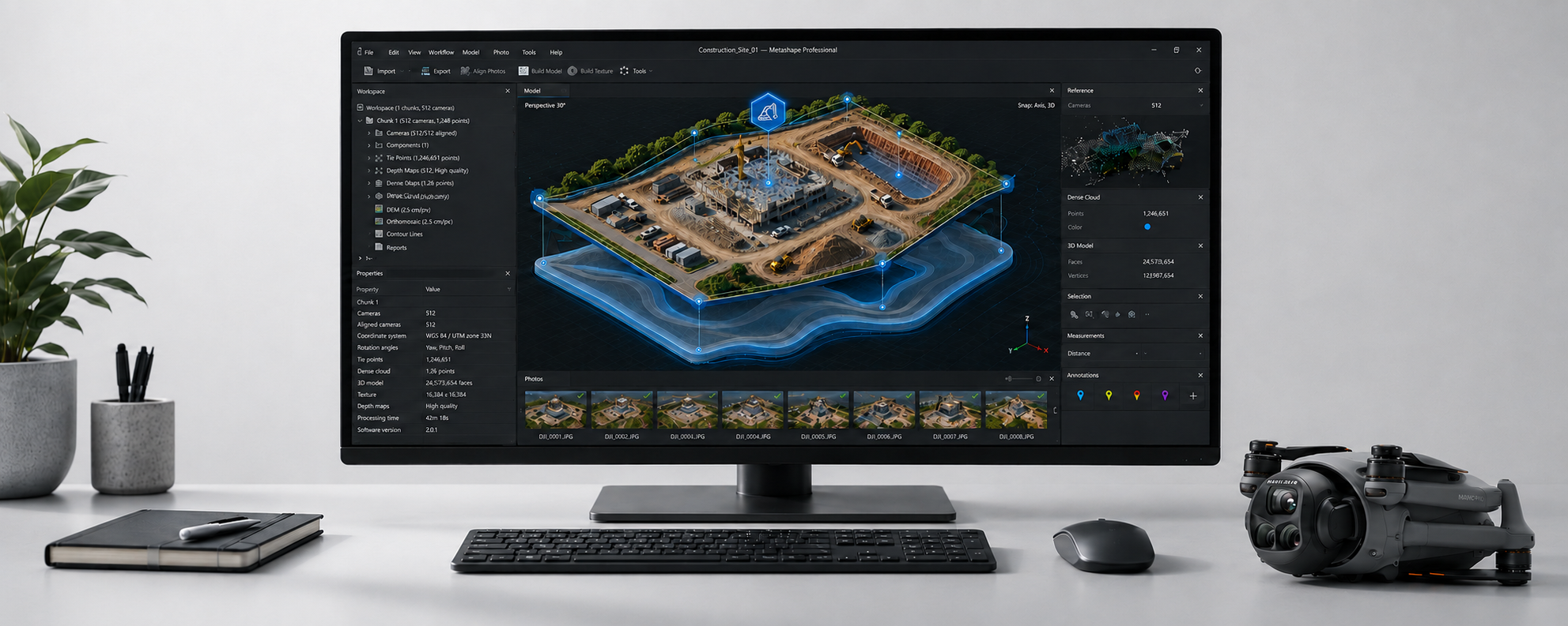
Photogrammetry
Turn images into useful data
We transform drone captures into orthomosaics, 3D models, and visual documentation for analysis, presentation, and decision-making.
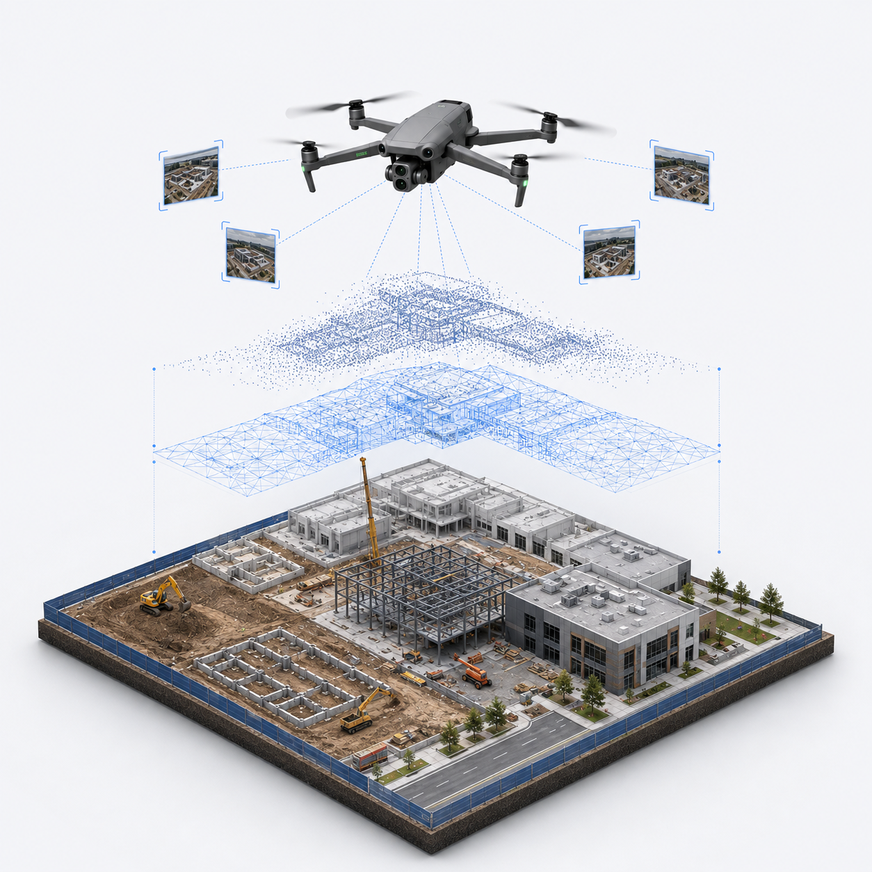
What is photogrammetry?
Photogrammetry converts multiple photographs into a clear spatial representation of a terrain, structure, or object.
It is not just an aerial view. It is a way to document, measure, share, and present a site with greater clarity.
What assets can be generated?
-
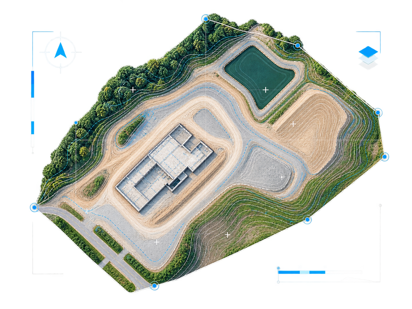
![]()
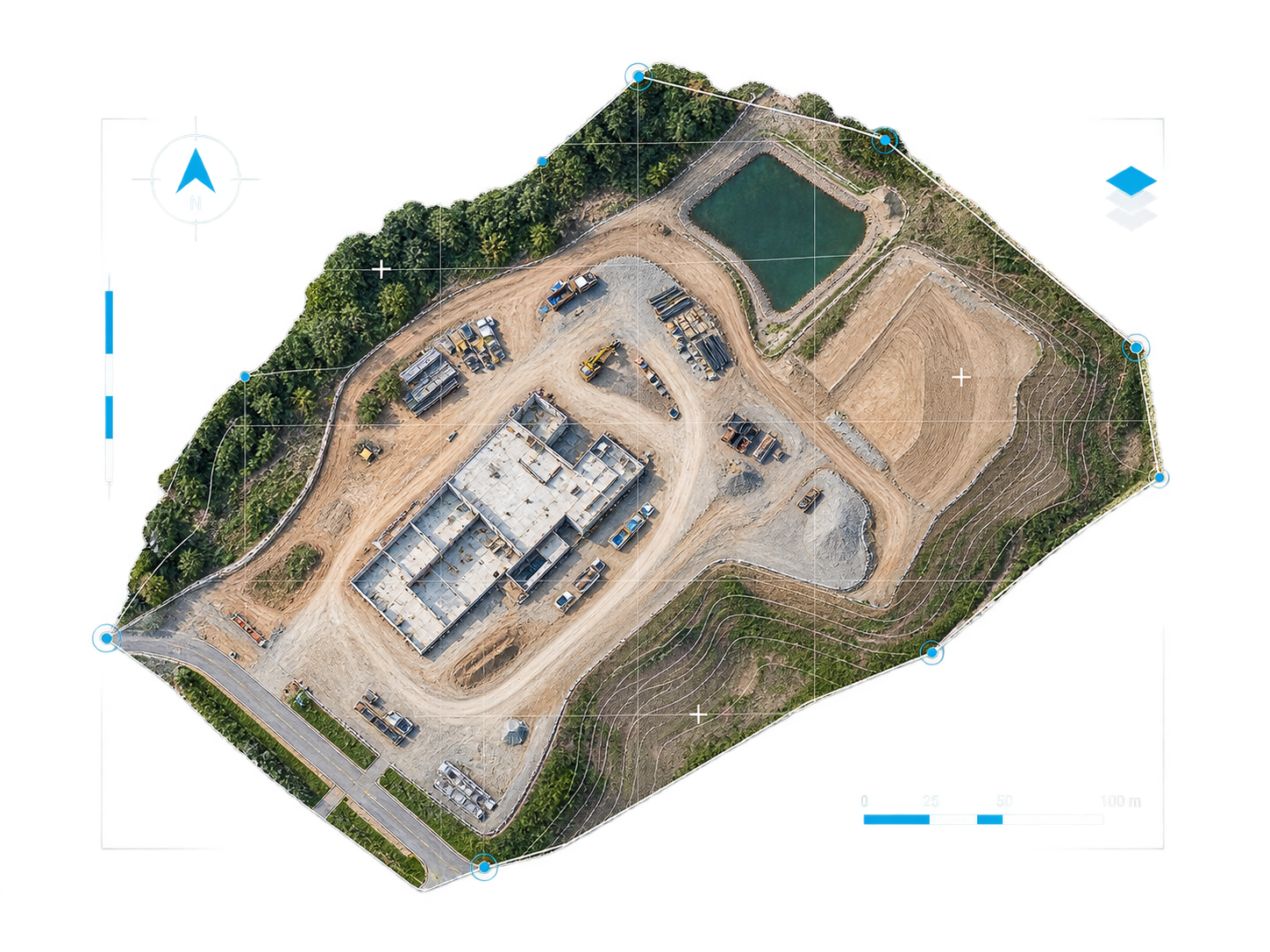
Ortomosaic
Processed aerial images that function as a map-like visual base.
-
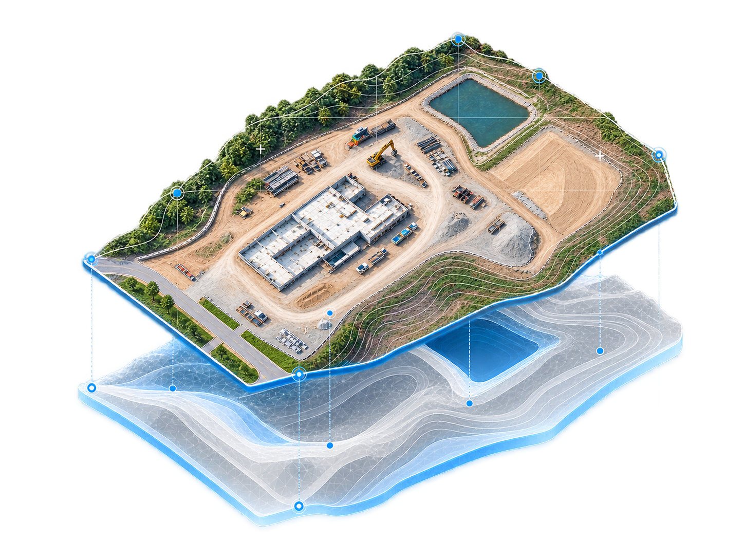
![]()
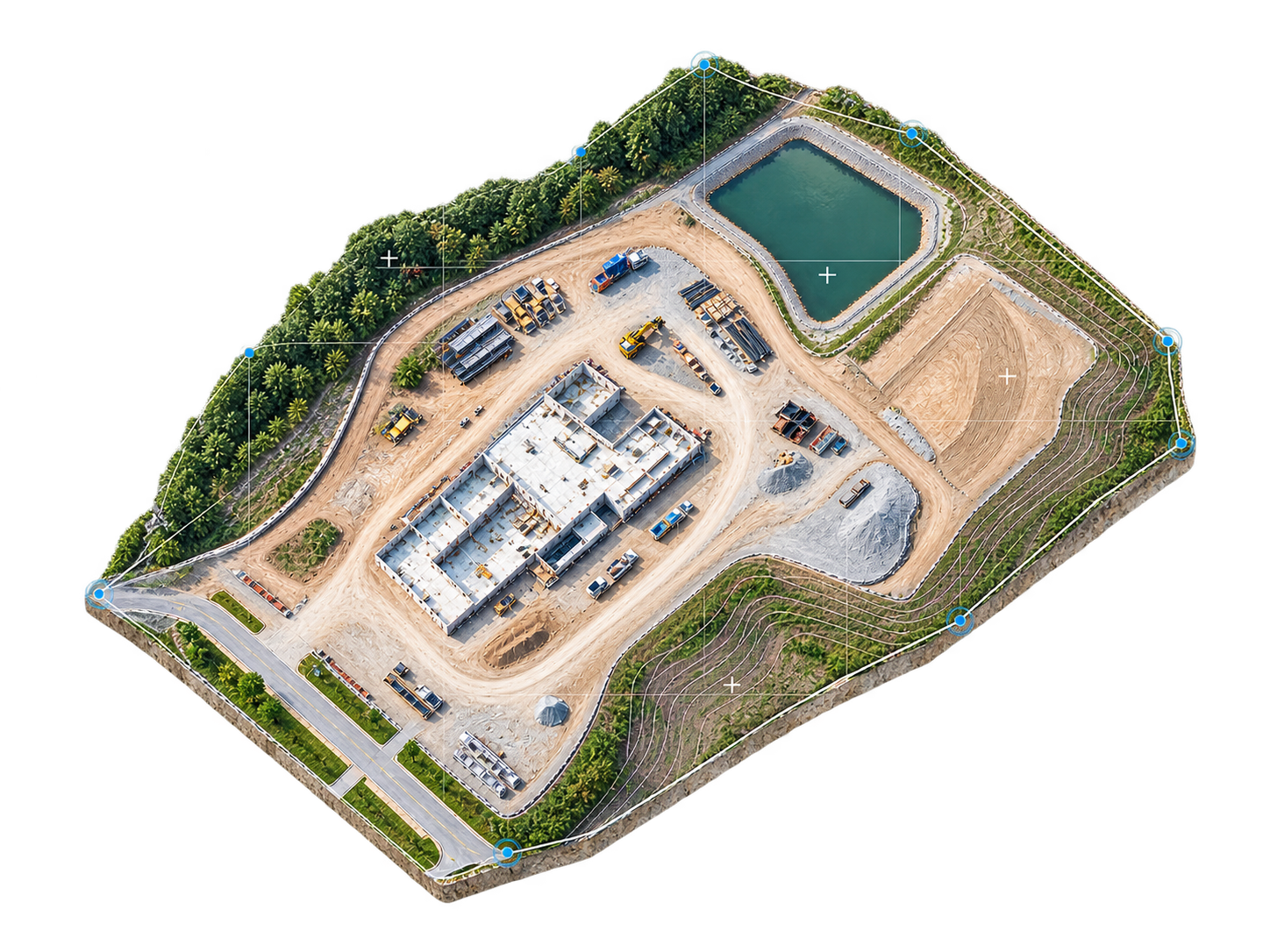
3D Models
Digital reconstructions to understand shape, volume, and context.
-
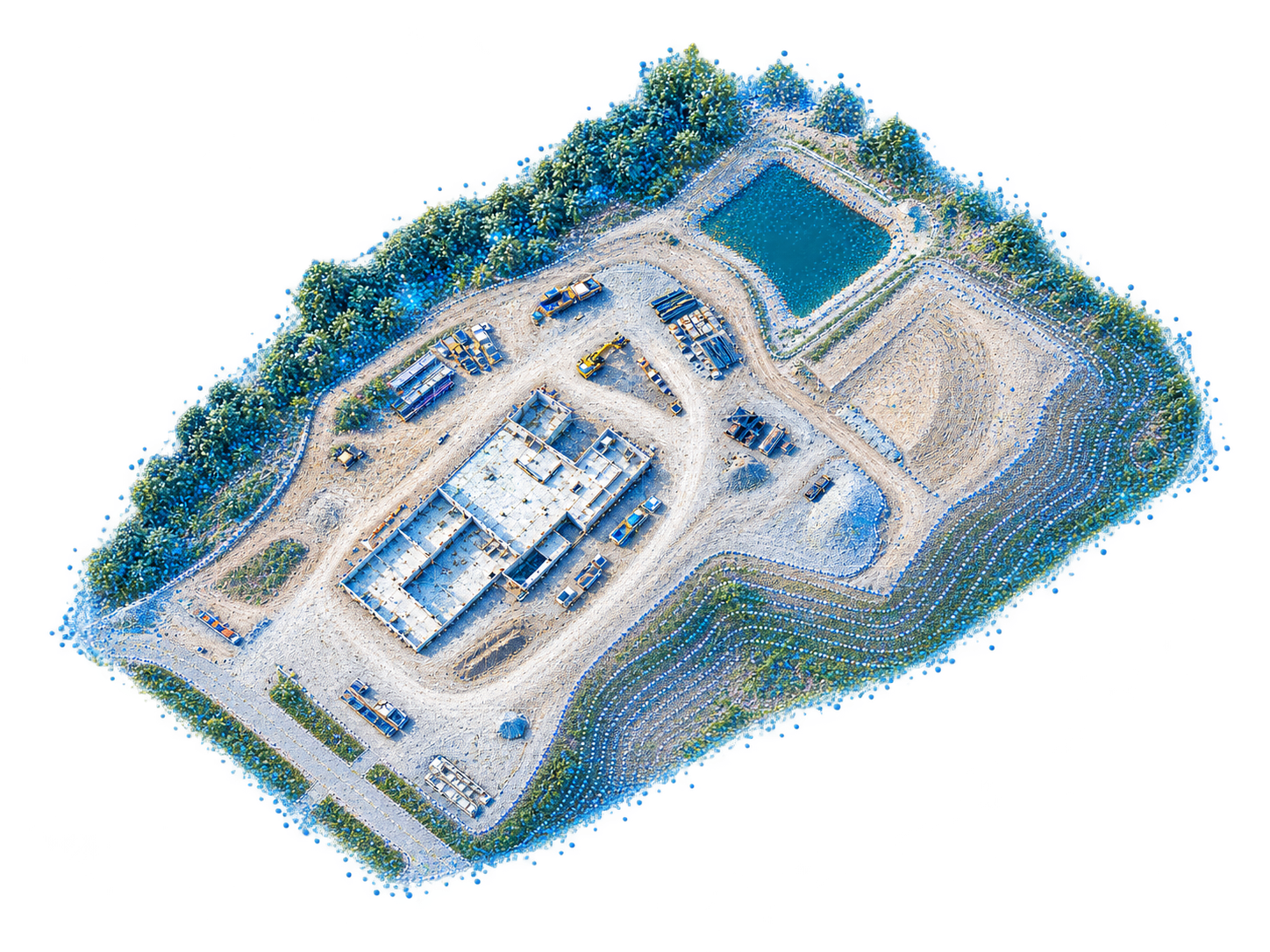
![Point Clouds]()
Point Clouds
Spatial representations useful for technical analysis and digital modeling.
-
![]()
DSM / DTM
Surface and terrain models for interpreting relief, slopes, and general site conditions.
-
![]()
Contour Lines
Preliminary topographic reading derived from elevation models.
-
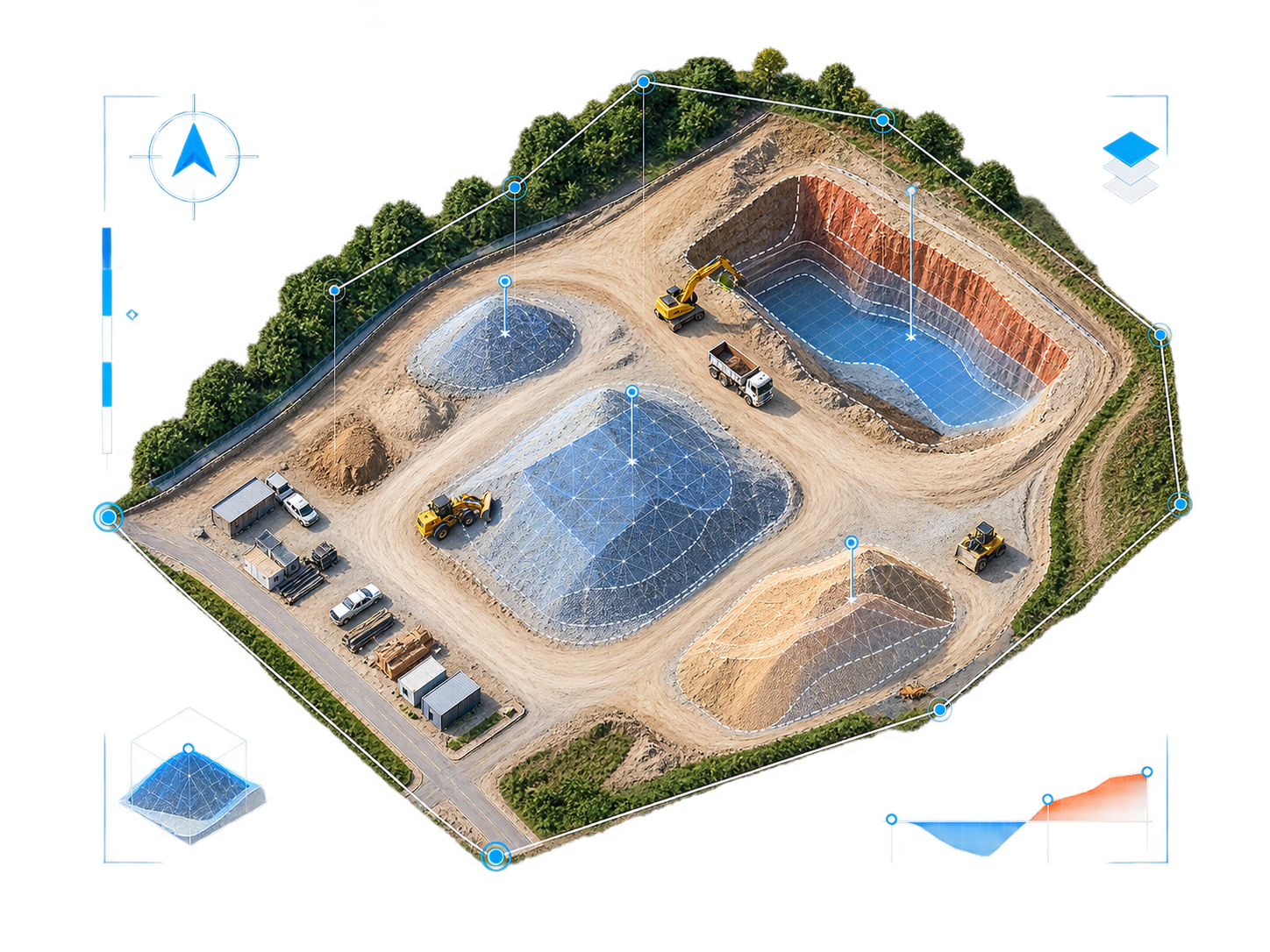
![]()
Volumetrics
Area and volume calculations for material stockpiles, construction, or earthworks.
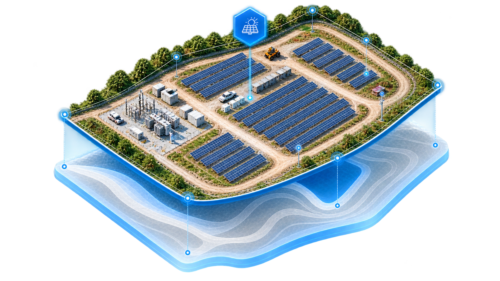
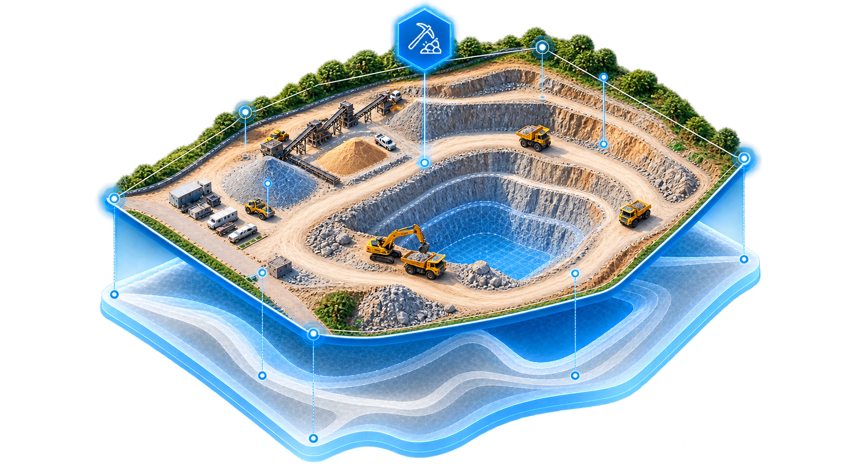
Use cases
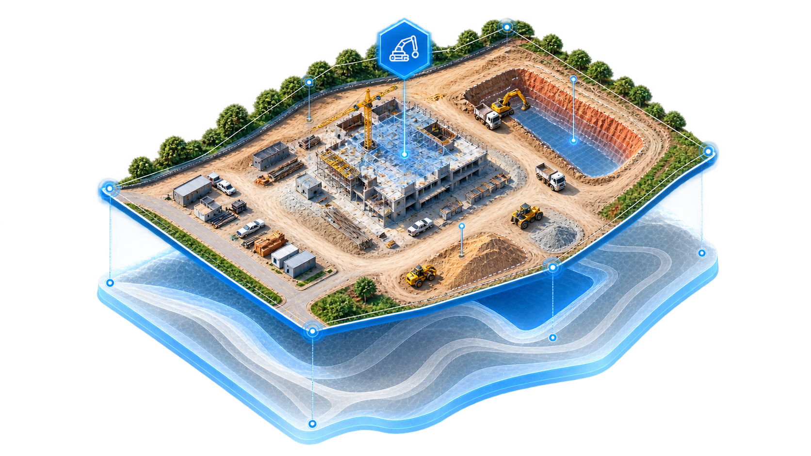
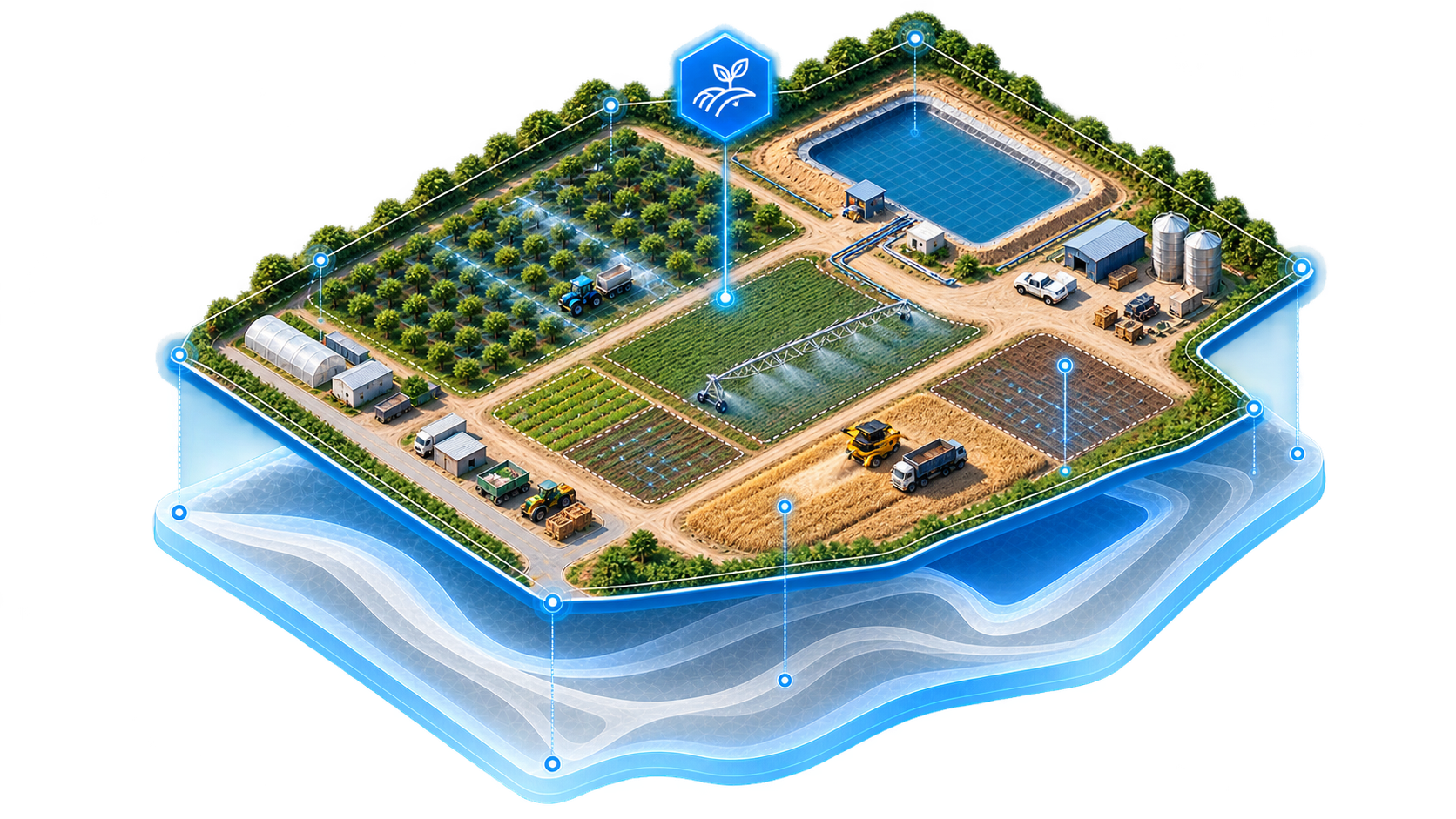
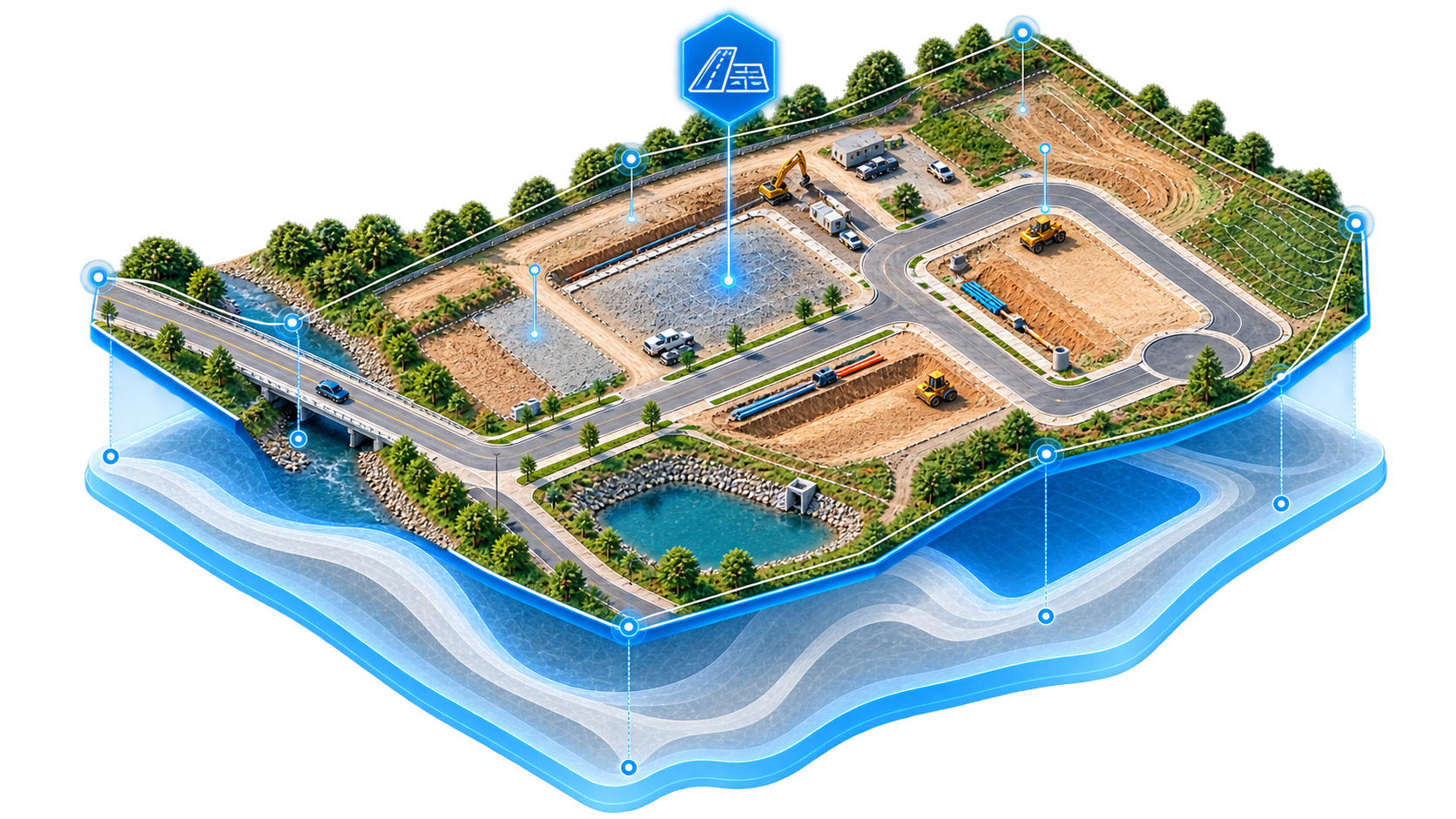
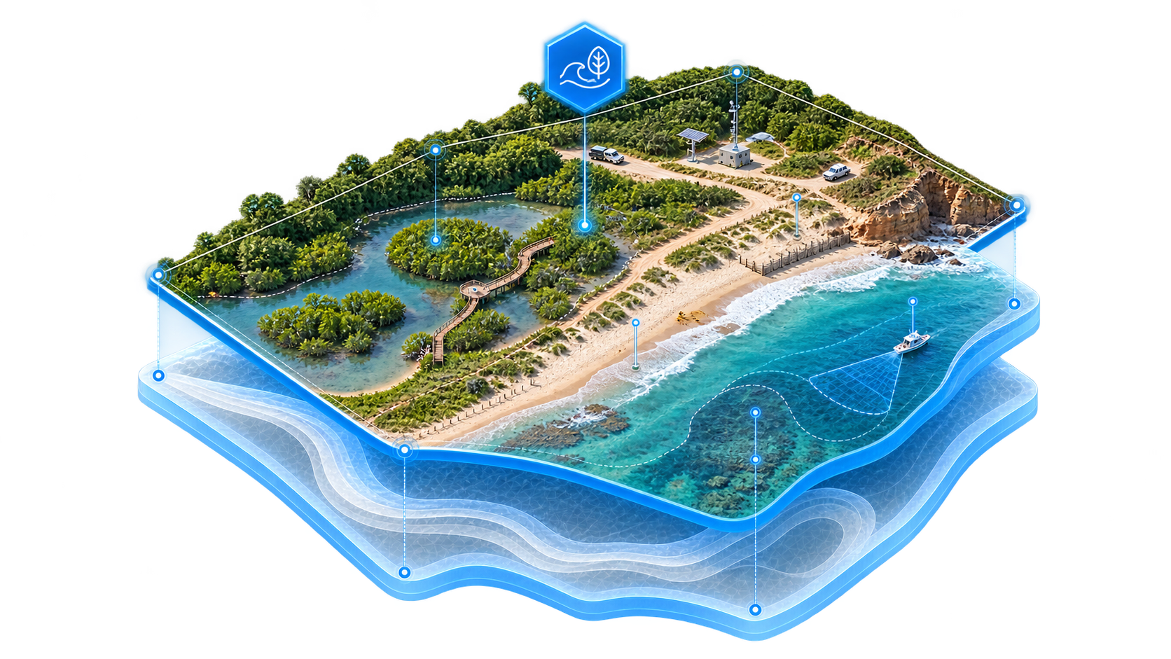
Our Process
1

Planning
We define the area, objectives, access, and site conditions
2

Capture
We fly the agreed area with enough coverage for photogrammetric processing.
3

Processing
We generate visual and spatial products from the captured images.
4

Delivery
We organize the final files for review, presentation, and use.